
We are influencers and brand affiliates. This post contains affiliate links, most which go to Amazon and are Geo-Affiliate links to nearest Amazon store.
Technology is constantly bringing us new ways to enjoy the world around us. If you love to take pictures or need data from your photos, you’ll love this new technology: 3D pictures. There are some professions who need data from photos often such as architects, geologists, artists, police officers, and cartographers, but also almost any other professional or photography enthusiast could use this new technology.
How it works
It might sound like a complicated process, but it’s not. We’ll take you through a general tutorial of how this works.
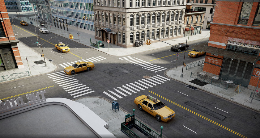
Let’s say you needed to create a 3D model of an intersection as a city planner. You’d simply take a photo like this:
After you get more pictures from different angles (so the software can get an accurate measurement), you would upload it to your personal software and your 3D model would be created. You can easily 3d digitize with the right software.
Using the Right 3D Software
It will take you some time to get the hang of it and learn exactly how you need to take photos to make them perfect. Most software will give you the ability to look over all the different important points on your piece so you can be sure it will be accurate when it comes out.
Technology is able to create these photos because of light. The light that hits an object can tell us a lot about how far away it is, how tall it is, the shape of it, the surface area, and so on. When you use multiple photos, you’re able to tell the software exactly what something looks like.
Calculating the Distances
You might be wondering, “How does it know the points in the image are the same?” Well, that’s where your help comes in. You tell the software which points in the photo are the same and it does the hard work of putting everything together to make something 3D. Sometimes, the software can figure out these points on its own using advanced mathematical equations.
You also want to make sure you highlight what specific area you want to create into a 3D image. You’ll crop out the background so the software can process the parts of your photo that matter most.
From there, you just need to give the images a reference point. For example, you’d need to tell the software, “The difference between this point and this point is a certain distance” because it won’t know whether you’re recreating a 3D model of a small piece of art or if it’s an entire mountain without this data.
Different Softwares
With the rising use of drones, you could create an entire map of an area or get a full picture of a city by using various photos.
Depending on what you want to create, you’ll want to keep that in mind when you buy your software. There will be different options depending on what you want to 3D create such as models, cliffs or rocks, forensic data, quarries/mining, buildings, agriculture, etc.
Once you find the right software for your purpose, you’ll be able to create your first 3D model.
We are influencers and brand affiliates. This post contains affiliate links, most which go to Amazon and are Geo-Affiliate links to nearest Amazon store.
Jackie is a writer out of Denver, Colorado with a never-ending passion for good TV shows, gadgets, and old-school video games.
Compensation Area of Interest I’ve been writing articles online for over 8 years, but I’d like to start getting into the review world. I love, love, love TV shows and gadgets.